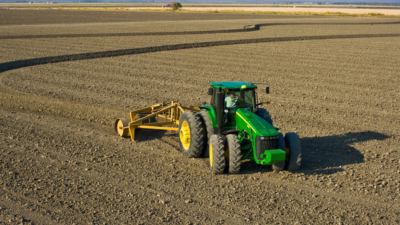
John Deere Surface plus pro
Technology Products
- Map subtle changes in elevation across the field in Survey Mode. Use this data to create ditches to enhance field drainage and maintain crop yield
- Prevent crop loss due to drowning by creating ditches in the field using either a linear drain profile or a best-fit drain profile
- Create field levees by following the calculated levee tracks based upon elevation survey data and using AutoTrac in subsequent passes to create parallel levees
